TREKS · 2-DAY · HARD · MAX 4572M
Tawang to Bumla Pass Trek.
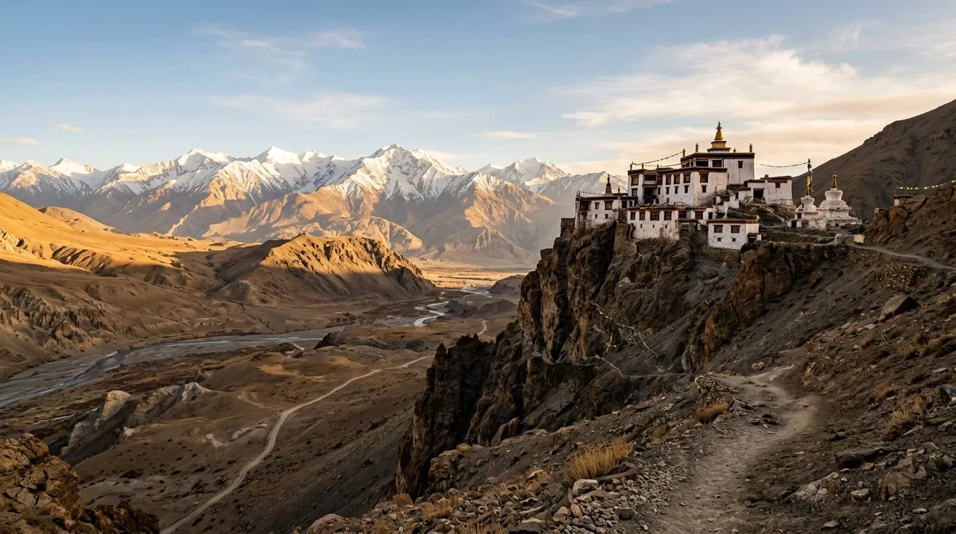
Tawang to Bumla Pass Trek
High-altitude trek to India-Myanmar border at Bumla Pass (4,572m). Snowfall possible year-round. Military permits required—restricted route near border.
चेतावनी
⚠Altitude sickness extreme
⚠Blizzards possible at summit
⚠Foreigners not allowed—Indians only
⚠Private vehicles banned—use army transport
⚠Medical support distant
ALSO ON NAKSHIQ
Eight more rooms in the magazine.
Guides
Visa, scams, food, packing.
Everything the guidebook won't tell you — written for India in 2026.
Blog
Field notes from the road.
Long-form reads on regions, festivals, and the offbeat circuit.
Road trips
Curated multi-day routes.
Driving itineraries with day-by-day stops, distance, and difficulty.
Collections
Themed reading lists.
Wettest places. Sacred lakes. Solo-female-safe. Curated cuts.
NakshIQ 100
The 100 best destination-months.
India's highest-scoring places, ranked across all 12 months.
The Window
Our weekly newsletter, archived.
One honest spread, every Sunday. The full back catalogue.
Skip list
What we'd skip — and what we'd do instead.
Overhyped places with honest alternatives.
First trip
Planning your first time in India.
Safety, scams, what to wear, food survival, solo female travel.