The Most Dangerous Roads in North India
Scored on real data — landslides, closures, and what to do about it
Destinations in this article
Dangerous Roads — Scored, Not Sensationalized
India has some genuinely dangerous mountain roads. But "dangerous" gets thrown around loosely on travel blogs. Here's a data-driven look at the roads that actually kill, and what you can do about it.
Killar–Kishtwar Road — Danger Score: 5/5
This is widely considered India's most dangerous road. 114km of single-lane dirt track carved into sheer cliff faces above the Chenab River. No guardrails. Width: barely enough for one vehicle. If a truck comes from the other direction, someone reverses — sometimes for kilometers.
Fatalities: Exact data is sparse but multiple vehicles go over the edge every year. In 2022, a bus carrying 30+ passengers fell into the gorge.
Closure: Frequently closed Jul-Sep due to landslides. Open window is narrow — Jun and Oct are the safest months.
Alternative: Fly to Leh or take the Manali-Leh highway instead. This road is only for experienced mountain drivers with a death wish or a really good reason.
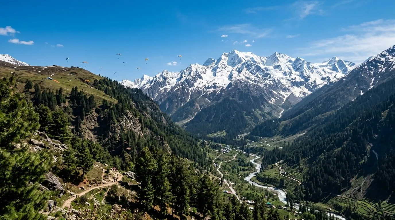
Manali–Leh Highway — Danger Score: 3/5
The most famous "dangerous" road in India is actually not that bad — by Himalayan standards. The main risks are altitude sickness and landslides between Rohtang and Sarchu. The road itself is paved for about 60% of the route.
Fatalities: Most deaths are from altitude sickness or hypothermia at Sarchu/Pang, not road accidents. Ride slowly and acclimatize.
Closure: Nov-May (snow). Opens mid-June usually.
Tip: The Atal Tunnel (opened 2020) bypasses Rohtang Pass entirely, removing the most dangerous section.
Rohtang Pass Approach — Danger Score: 3/5
Before the Atal Tunnel opened, the Rohtang approach was notorious. 50km of switchbacks, zero visibility in fog, and traffic jams of 500+ vehicles. The tunnel has reduced this, but the old road is still used by bikers and those heading to Rohtang Pass viewpoint.
Fatalities: Traffic accidents mainly, not cliff falls. The road is wide enough but overloaded with tourist vehicles in summer.
Closure: The old road closes Nov-May. The tunnel is open year-round.
Zoji La Pass (Srinagar–Leh) — Danger Score: 4/5
The gateway to Ladakh from Kashmir side. 9km of unpaved switchbacks at 3,528m with sheer drops and no barriers. Army convoys add to the chaos. When two trucks meet on a blind corner, prayers are offered.
Closure: Nov-May. The Zoji La tunnel (under construction) will eventually make this pass obsolete.
Alternative: Fly directly to Leh. Seriously.
Chang La (Leh–Pangong) — Danger Score: 2/5
Often called the "third highest motorable pass" (it isn't — the claim is disputed). The road is surprisingly decent. The danger is altitude (5,360m) and tourists who drive too fast on the descent. Oxygen levels are 50% of sea level.
How to Reduce Risk
1. Never drive at night on mountain roads. Ever.
2. Start early — landslides and bad weather increase after noon.
3. Check BRO road status (Border Roads Organisation) before departing.
4. Carry emergency supplies — food, water, warm clothes for 24 hours.
5. Hire a local driver if you're not experienced with mountain driving. ₹2,000-3,000/day is cheap insurance.
The Verdict
Killar-Kishtwar is genuinely life-threatening. Manali-Leh is manageable with preparation. Most "dangerous" Indian roads are just badly maintained — slow down, start early, and hire local if unsure.
Monthly Scores
| Destination | Jan | Feb | Mar | Apr | May | Jun | Jul | Aug | Sep | Oct | Nov | Dec |
|---|---|---|---|---|---|---|---|---|---|---|---|---|
| Leh | 2.0 | 2.0 | 2.0 | 4.0 | 6.0 | 10.0 | 10.0 | 8.0 | 10.0 | 6.0 | 2.0 | 2.0 |
| Manali | 8.0 | 8.0 | 6.0 | 8.0 | 6.0 | 6.0 | 2.0 | 2.0 | 8.0 | 10.0 | 8.0 | 8.0 |
| Spiti Valley | 2.0 | 2.0 | 2.0 | 4.0 | 8.0 | 10.0 | 8.0 | 8.0 | 10.0 | 10.0 | 4.0 | 2.0 |
The Window · Every Sunday
Liked this? Get one every Sunday.
Best score of the week, one honest skip, road updates. Four minutes. No spam.
More in Data Story
7 offbeat himachal pradesh destinations scored 5/5 for May 2026
May is the month Himachal Pradesh stops being a gamble. Snow has cleared, passes are open, and the weather window is wide enough to actually plan around. A 5/5 score means the destination is firing on all four cylinders this month — weather, trail access, infrastructure, and crow
6 min read
The State of Indian Travel: Q1 2026
NakshIQ's Q1 2026 quarterly data report — 215 destinations, 2,580 monthly scores, and the data-driven truth about where India actually traveled in January through March 2026.
15 min read
The Monsoon Intelligence Report
A data-driven analysis of 124 Indian destinations during monsoon season, revealing where rain helps, where it's dangerous, and the 26.7% of destinations that peak during July-September.
11 min read- Access
- Manali-Leh: 5 passes, rough sections. Srinagar-Leh: better road.
- Emergency
- 108 (works in Leh town) · SNM Hospital Leh. Army hospital in emergency.
- Stay
- ₹500-8000/night · 200 options
- Permit required
- See the process →
Go with confidence.